The houses and the water
Slab homes from three decades, on Lake Georgetown water
A utility district that grew into a full community, one subdivision at a time.
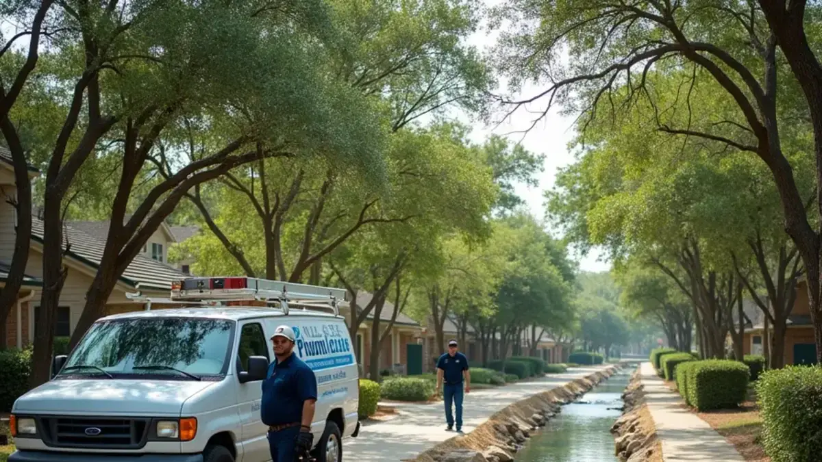
The district behind this community was created in October 1977 as Williamson County MUD No. 2 and took its current name in 1990. Neighborhoods such as Sendero Springs, Cat Hollow, Hunter Brook and Highland Horizon filled in over the following decades, almost all of them slab-on-grade houses.
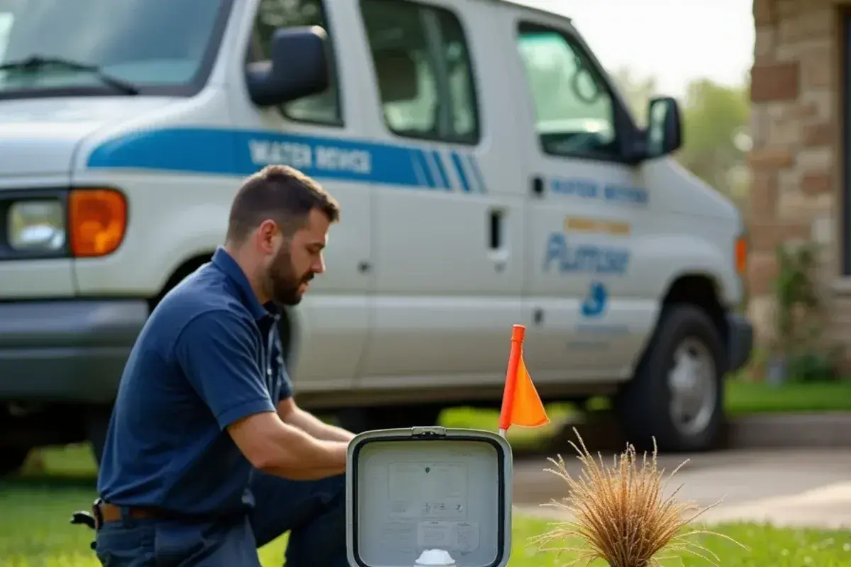
BCMUD treats raw water from Lake Georgetown and its own wells with membrane filtration at a plant on Sam Bass Road. Earlier it relied on wells and water bought from Round Rock. Wastewater goes to the regional treatment plant owned by Round Rock, Cedar Park and Austin.
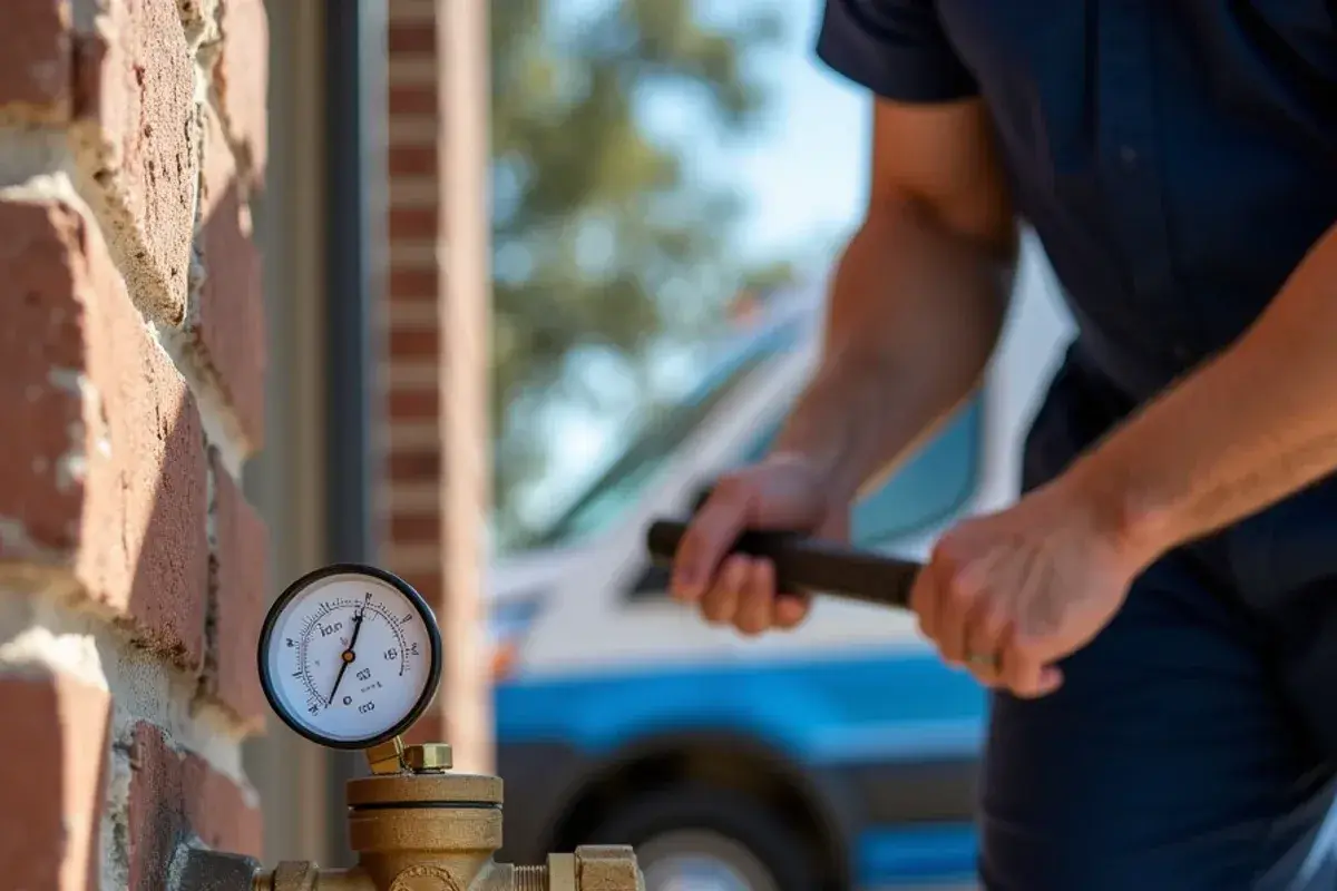
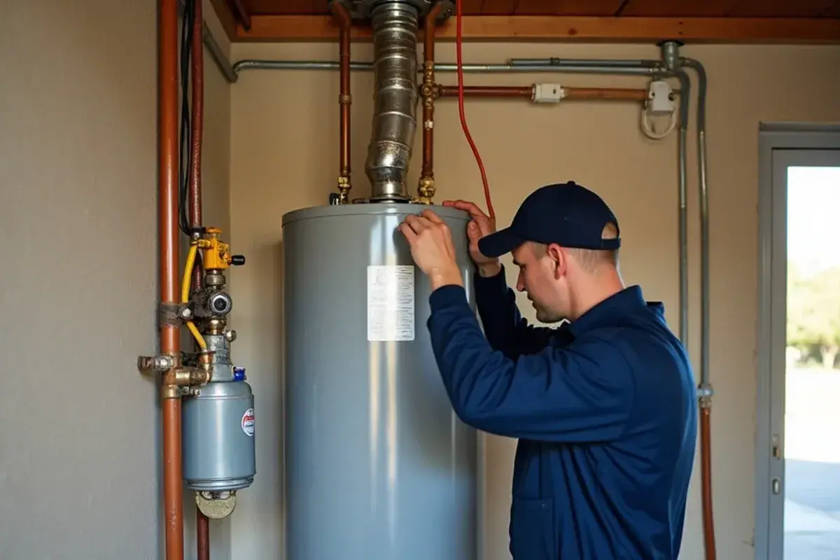
Age is what drives the calls. A house finished in 1995 is on its second or third tank water heater by now, because tanks typically last 10 to 15 years. The pressure-reducing valve on the main line ages too, and when its spring and seat wear, house pressure creeps up.
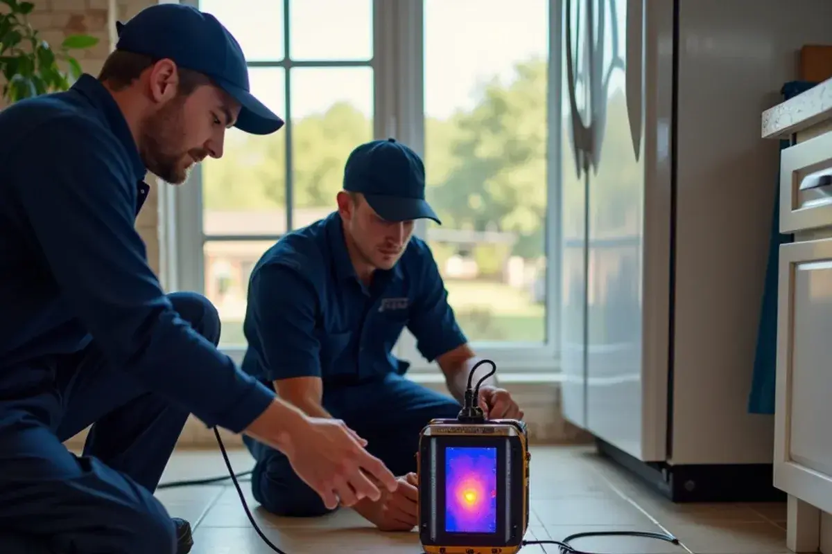
High pressure shows up as a dripping relief valve, banging pipes, running toilets and supply hoses that fail early. Homes plumbed before 1995 may also carry polybutylene, and the February 2021 freeze found weak spots in attic lines and hose bibs here as it did countywide.
Local knowledge
MUD rules, permits and the line past your meter
In a MUD, the district sets the plumbing rules a city would set elsewhere.
The district covers about 2,300 acres in two pieces: one between Sam Bass Road and FM 1431, the other mostly south of the creek toward RM 620. Since 1997 all of it has sat in Round Rock's ETJ, and most homes are zoned to Round Rock ISD.
BCMUD asks for a permit before a water heater, softener, pool heater or irrigation system goes in. The application must come from a plumber registered with the district. Its staff cannot work on private property, and its own forms call the pipe past the meter the homeowner's side.
District meters log hourly use for 90 days, and owners can request a consumption log to spot a leak. On the sewer side, the homeowner's responsibility starts at the main on a single service, or after the wye on a shared one. The Brushy Creek Regional Trail follows the water through it all.